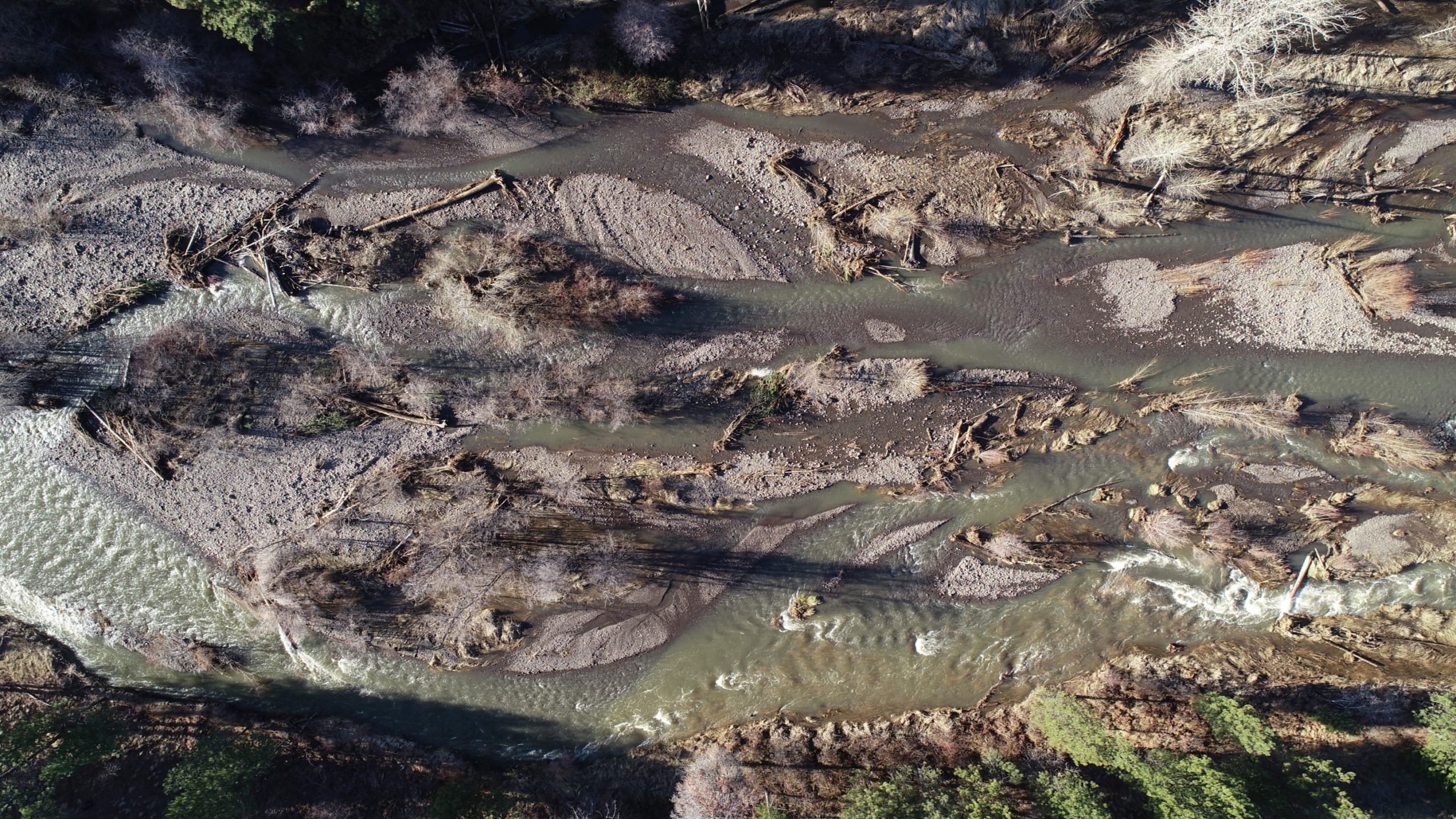
Tucannon River Stream Flow Information
Realtime Conditions and Statistics
Streamflow monitoring locations in the Tucannon River Basin, WA.
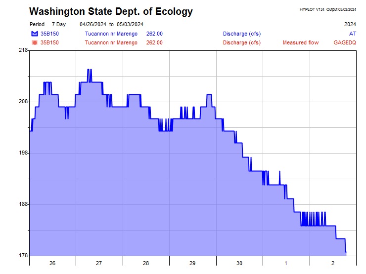
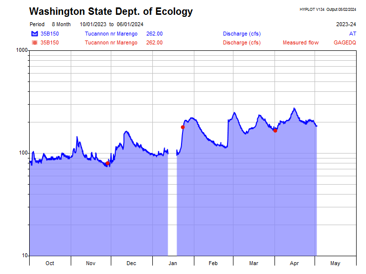
The following graphs are linked and displayed from the Washington Department of Ecology and the United States Geological Survey (USGS) websites.
Tucannon River near Starbuck
USGS Site 13344500
View Monitoring Location Page and Download Data
CURRENT STREAMFLOW
Loading…
Today’s Flow Percentiles
Loading…
Compare to
Historical Conditions
Historical Conditions
View full statistical graphs
↗
Annual Peak Flows
(Tucannon River near Starbuck, USGS Site 13344500)
Annual peak flow values are the maximum instantaneous streamflow values recorded at a particular site for the entire water year from October 1 to September 30.
Auto-updating from USGS API
Tucannon River near Marengo
Washington State Department of Ecology Site 35B150
Explore the Regional
Streamflow Conditions Map
Streamflow Conditions Map
↗